
Lost and found
Before I started on my hike, Mark admonished me "You'll stay on the trail, right?"
"Of course I will," I promised. And I really did mean to. The trouble was the blazes.
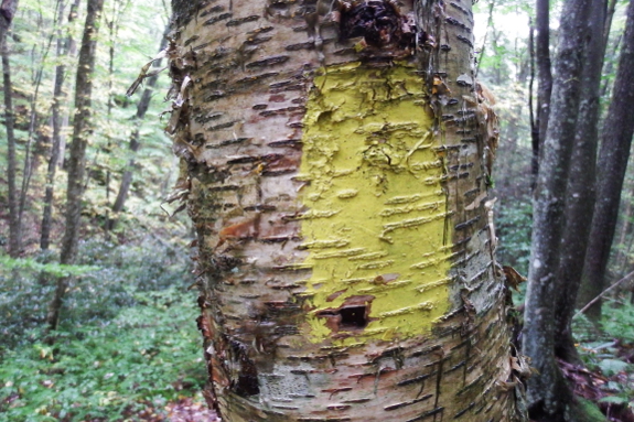
Actually, I was highly
impressed by how well the trail was marked at first. If you understand
blazes --- pay attention to the color and look for double-blazes to
alert you to an unexpected turn --- following the trail from the High
Knob Tower to Edith Gap was child's play.
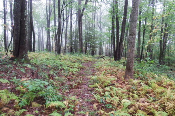
Okay, yes, I'll admit
that as I got closer to Edith Gap, the trail got slightly trickier.
Orange blazes joined the yellow as a horse trail cohabited with my
walking trail. And, in some spots, only orange blazes existed to mark
both avenues. But after I figured out what was going on, I was okay with
that.

The trouble happened when
my trail crossed the next forest-service road...and seemed to
disappear. While the higher-elevation portions of the Chief Benge trail
could just as well have been located in a National Park, this region
shows the reality of trail-building in the National Forest ---
clearcuts. Through some oversight, a clearcut had been smacked down
right in the middle of the trail, meaning that I was suddenly walking
through a thicket of five-year-old trees with no blazes in sight. Gulp.
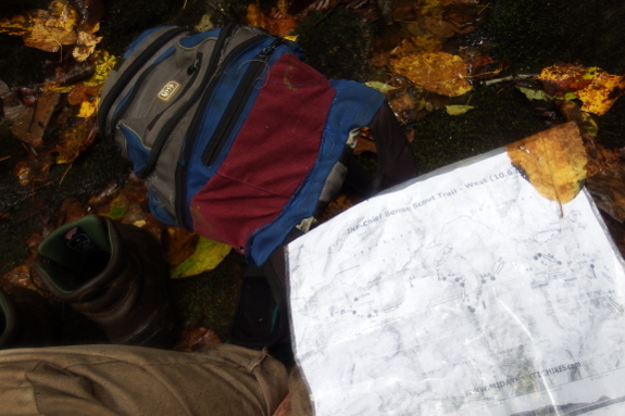
Enter my handy, dandy
map. When walking over new ground, I try to bring along a high-quality
topo map at all times. And here's why --- the visual helped me figure
out how to bushwhack in just the right direction so I could meet back up
with the trail less than half a mile downstream. Success!
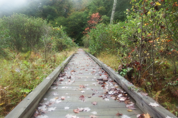
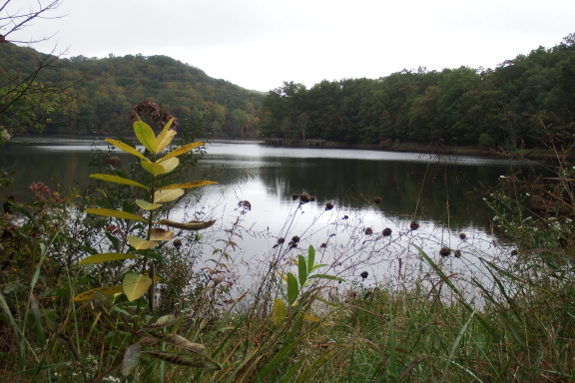
I think I probably used
more calories during my fifteen minutes being lost than I did during the
whole rest of the hike. And since the blazes were suddenly scanty from
there on out, I tired myself out yet more wondering if I'd actually
found the right trail and was heading in the right direction. Boy was I
glad to see this boardwalk at the upper end of Bark Camp Lake, proving
that I'd not only guessed correctly, but was also on the home stretch.
I'll admit that I wouldn't have wanted to walk longer, and I did end up with tired muscles and sore feet. But I learned that a hike of that magnitude is definitely not beyond my means, which is an empowering feeling.
I do think I'll wait a while before hiking the other half of the Chief Benge trail, though....

Or explore more posts by date or by subject.
About us: Anna Hess and Mark Hamilton spent over a decade living self-sufficiently in the mountains of Virginia before moving north to start over from scratch in the foothills of Ohio. They've experimented with permaculture, no-till gardening, trailersteading, home-based microbusinesses and much more, writing about their adventures in both blogs and books.
Want to be notified when new comments are posted on this page? Click on the RSS button after you add a comment to subscribe to the comment feed, or simply check the box beside "email replies to me" while writing your comment.
- Remove comment
- Remove comment